Verified
10/10 Excellent
Emily W.
7 Sept 2024
Liked: Cleanliness, check-in, communication, location, listing accuracy
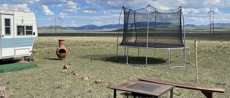
Quick Camping Getaway
Emily W.
Stayed 2 nights in Sep 2024


Get instant answers with AI powered search of property information and reviews.